From shrubland to grassland, a new series of maps reflects major shrinkage of vegetative ecosystems, threats to wildlife since 1980s
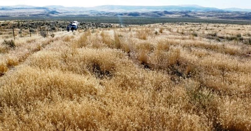
End of the road? Rangeland ecosystems are disappearing. Courtesy of Sage Grouse Initiative
By Leslie Thompson, Argus Observer. June 14, 2021. According to information released by the Oregon SageCon Partnership in late May, the trend of shrinking rangeland across southeastern Oregon is widespread. Maps that show five-year time slices from 1985 to the present indicate massive ecological changes.
At the start of the map series in the mid-1980s in southeastern Oregon, including Malheur County, researchers characterized most of the area as “good condition shrubland.”
The map is now dotted with large areas marked as “poor condition grassland,” as well as “poor condition shrubland.”
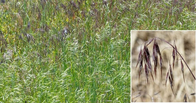
Invaders: Along with livestock, fire and agriculture, the introduction of exotic plant species such as cheatgrass (pictured) have altered vegetative ecosystems across the Columbia River Basin. Photo by Jim Kennedy/CC
According to a 2020 Rangeland Condition Report, high quality sagebrush lands are being taken over by invasive annual grasses, such as cheatgrass, as well as juniper encroachment. In addition to displacing native bunchgrass, cheatgrass is a primary fuel for rangeland wildfires. The Rangeland Condition Report will be updated this summer.
The SageCon Partnership is a combined effort of more than two dozen government, NGO and nonprofit stakeholders. The entities are using threat-based models as a framework to identify and address primary threats to rangeland ecosystems in southeastern Oregon, which provide habitat for the greater sage grouse.
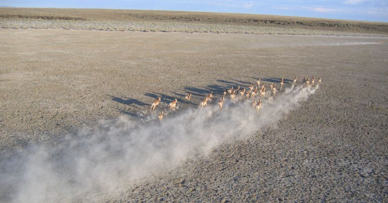
The conservation status of sage grouse is “near threatened.”
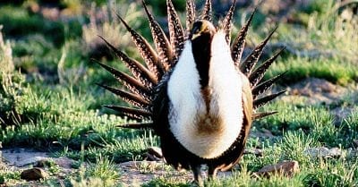
Sage grouse: Many birds and mammals depend on sagebrush ecosystems. Photo by BLM
Its population is shrinking almost as quickly as its habitat.
The grouse was considered for an “endangered” listing in 2010 and again in 2015.
Analyzing rangeland
The problem ahead of the partnership is determining primary threats to rangeland ecosystems in southeastern Oregon. One way the agencies are going about this is by using threat-based models.
One recently developed model is the Ecostate Time Series Map, which covers upland sagebrush ecosystems across eastern Oregon.
The map utilizes digital photos to assign pixels into an ecostate based on the percentage of cover from annual or perennial forbs and grasses, shrubs and trees, according to SageCon.
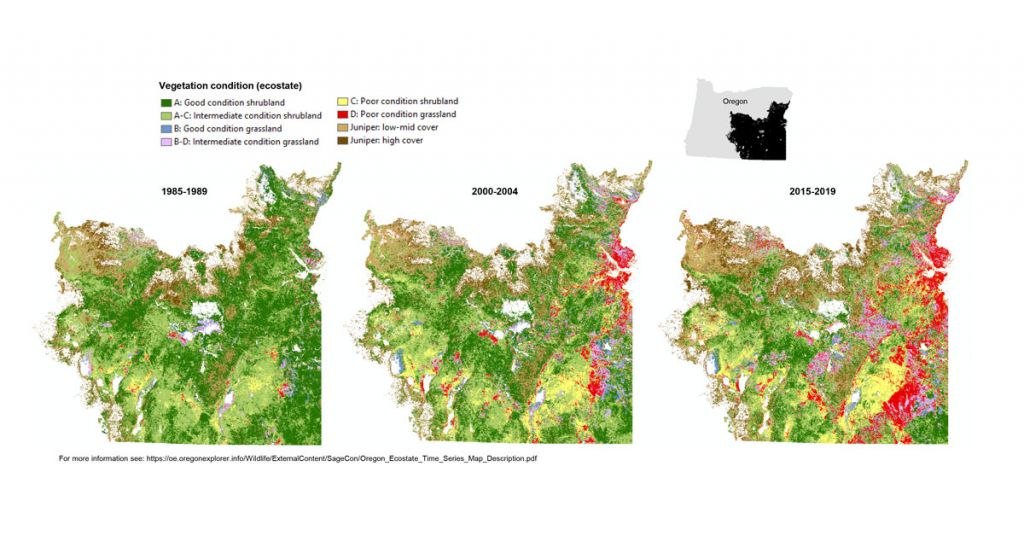
The maps, which are based on the Rangeland Analysis Platform, break down data regarding vegetation conditions into eight ecostates, expressed in letters that rate shrubland and grassland as good, intermediate or poor, and track the extent of juniper coverage. The maps also show core habitat for sage grouse.
The maps “provide a helpful big-picture view but should always be complemented with other data sources,” according to information released by SageCon.
Columbia Insight is publishing this story as part of the AP StoryShare program, which allows newsrooms and publishing partners to republish each other’s stories and photos.


